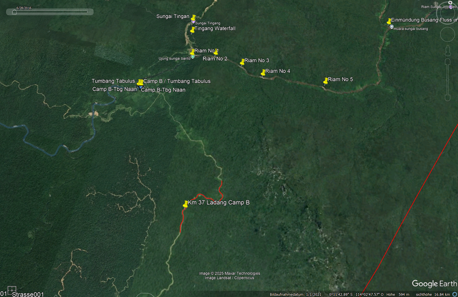
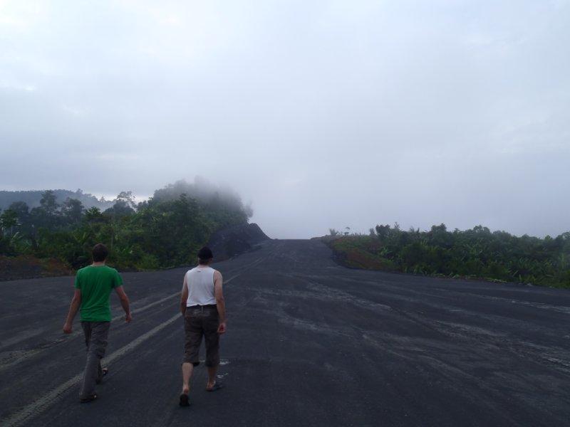
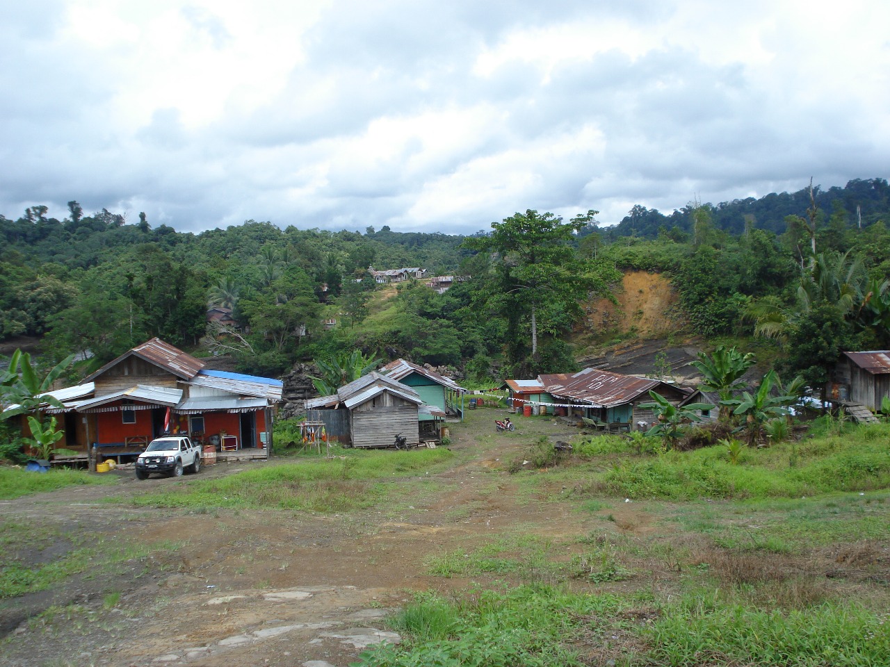
In the village of Tumbang Tabulus (Camp B), a coal mining company unofficially distributed land along a road, claiming to gift each villager 4 hectares. However, the land legally belonged to the state, and the company only had permission to build a road. The distribution method was flawed—stakes were placed every 200 meters along a winding road—leading to unequal and overlapping land claims due to the road’s curves.
The Eco Hapakat Foundation intervened, explained the legal and geometric issues, and proposed a fair redistribution based on GPS data. They created accurate maps and involved the entire community in a transparent process. This turned an illegal and potentially conflict-prone situation into a legally recognized and peaceful land allocation.
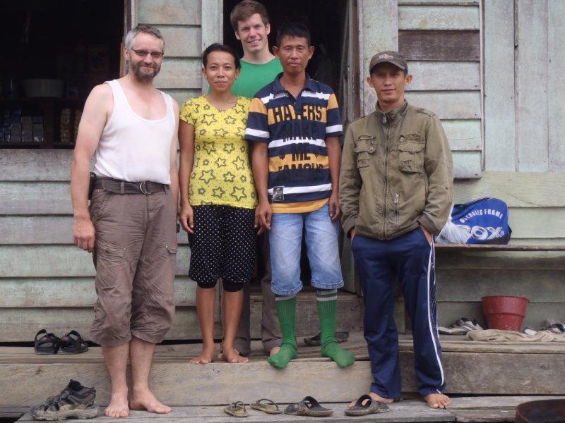
One day, we arrived in the village of Tumbang Tabulus, also known as Camp B, and were welcomed warmly. The coal mining company had just “given” everyone land along the road leading to the village.
We were puzzled and asked for more details: Land given away? Where and how much? Everyone had supposedly received 4 hectares. Well, we explained that the coal mining company couldn’t just give away land, since the land—or more precisely, the forest—belongs to the state. The company only had a very limited permit to build and use their road through the forest under strictly defined conditions.
Of course, the residents of Camp B were unaware of this. They had no understanding of the legal basis.
We inquired further about how the land had actually been distributed. We were told that employees of the mining company had walked along the road with villagers, placing a stake every 200 meters. After that, everyone could mark “their” land with a name tag. Everyone was happy and content.
That’s when alarm bells rang for us. We knew that the road in that area did not run in a straight line. Due to basic principles of geometry, this meant that conflicts within the community were inevitable.
Those who happened to claim land on the outside of the curves—where the road is longer—were simply lucky. Those on the inside of the curve—where the road is shorter—would sooner or later realize that their 4 hectares overlapped with their neighbors’, once the first lucky landowner cleared their area. As a result, they would come up short, while those on the outer side might even end up with significantly more than the supposed 4 hectares.
Well, for us educated Central Europeans, this kind of geometry and arithmetic is covered in secondary school. But for our dear Dayak friends, it’s simply not comprehensible.
We tried to explain the problem with the way the land had been divided and warned that serious conflicts could soon arise. After some discussion, they agreed to our proposal to take a new approach to the land distribution.
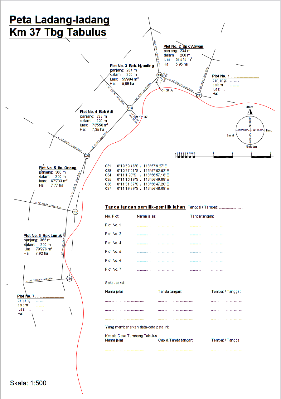
The very next day, we walked along the stretch of road with a GPS and I recorded precise data along the center of the road. We then took this data back to Palangka Raya, where I transferred the GPS data to my computer. Based on this, I could draw an accurate map of the entire route and fairly divide the land plots.
During our next visit to the Joloi Valley, we brought a large map showing the exact course of the road, and with the newly drawn land plots, the villagers could collectively decide who would take ownership of which part of the forest.
At this point, an important factor comes into play: Unlike the coal mining company, the local population actually does have the right to apply for a portion of forest land from the state. And for that purpose, our maps and the accurate GPS data could be used in the field. Since all villagers were involved in the process and the village chief signed off on the plans and data, what had started as an illegal land transaction orchestrated by the mining company was transformed—through the support of the Eco Hapakat Foundation—into a legal process, one that was recognized both by customary law and by public law.
Project Proposal: None – the project arose spontaneously on site
Project Costs: Only travel expenses to the Jolo Valley
Project Participants: The local village population and the Eco Hapakat Foundation
Project Accounting: None was done
The impact of this small spontaneous project was significant. Without the Eco Hapakat Foundation’s support of the local people, serious conflict, jealousy, and accusations might have soon erupted.
This small example clearly shows how, with minimal effort, very little money, and simple means, one can achieve a big and peacekeeping impact in a village.
We leave it to the thoughtful reader to consider whether the coal mining company may have deliberately orchestrated the land distribution in this way—knowingly risking that the population would end up blaming and accusing one another because the initial division was, quite simply, unfair.